
Philippines Live
PHILIPPINES LIVE
What is the weather really like in the Philippines? Check the conditions on the ground, destination by destination.
Pick a destination to see its current conditions.
Central Visayas
Bohol / Panglao
Fetching current conditions…
These are automated measurements and forecasts. They are neither a safety advisory nor a personalised recommendation for your trip.
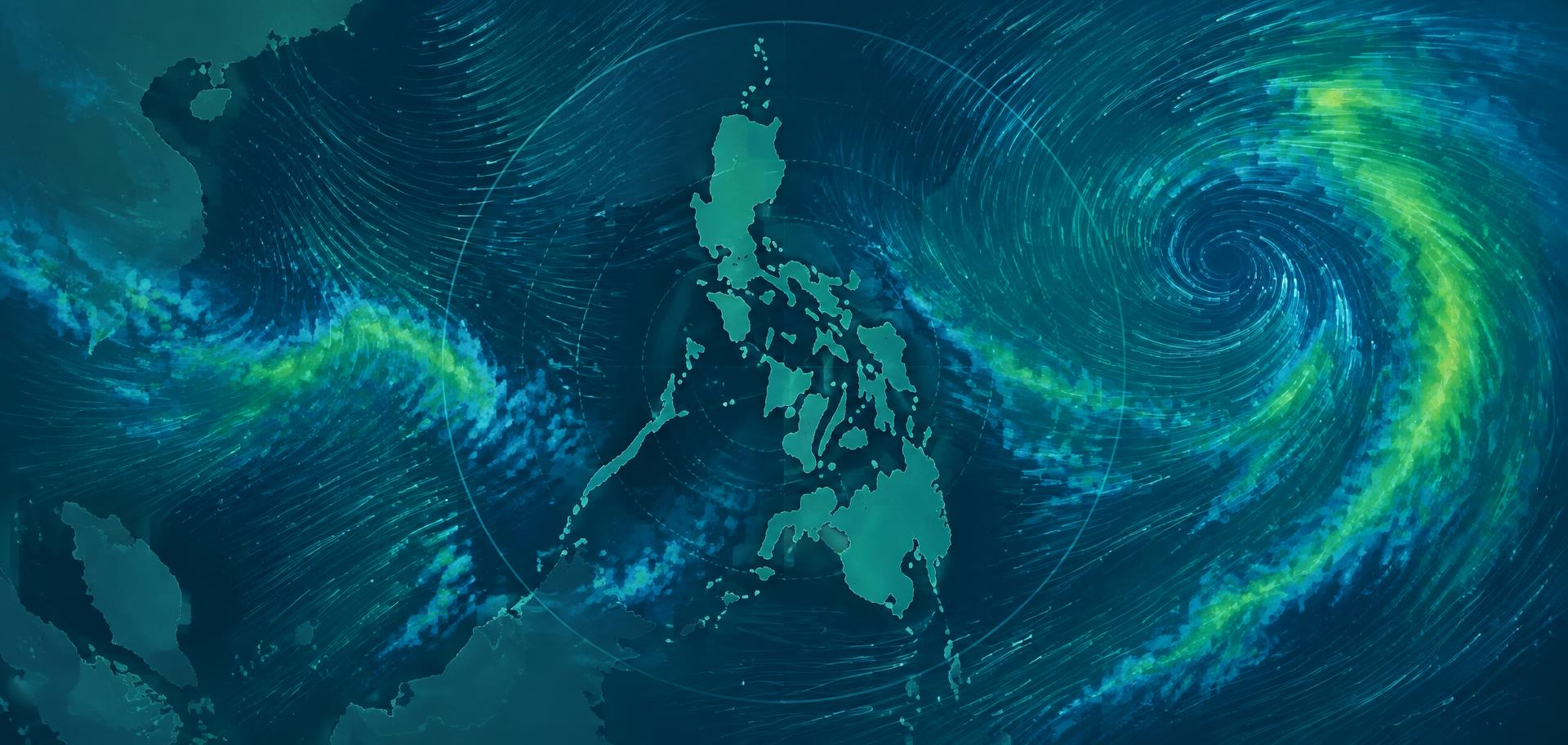
Animated map: rain, radar, wind
Visualisation provided by Windy. It complements the figures above but does not replace official PAGASA bulletins.
Open the map on Windy.comWhat to know on the ground
- Tropical showers are usually short and local: it can rain in Tagbilaran while Alona stays dry.
- Cebu and Leyte shelter the island, which keeps swell moderate on Panglao's south coast much of the year.
- Boat trips to Balicasag or Pamilacan depend mostly on the early-morning sea state.
Every destination we track
Each destination has its own page: current conditions, a 4-day outlook and local context.
Central Visayas
Bohol / Panglao
Panglao holds most of Bohol's beach stays — Alona, Danao, Momo — with the inland route towards Loboc and the Chocolate Hills.
See conditions →Aklan, Western Visayas
Boracay
Boracay reads as two opposite coasts: White Beach to the west, Bulabog to the east. Wind usually decides which one is pleasant.
See conditions →Central Visayas
Siquijor
A small round island best explored by scooter — waterfalls, beaches and coastal roads all work better on a dry day.
See conditions →Northern Mindanao
Camiguin
A green volcanic island that gets rain fairly regularly — which is exactly why it has hot springs, waterfalls and dense forest.
See conditions →Central Visayas
Cebu
Cebu City and Mactan handle most international arrivals; the south of the island (Moalboal, Oslob, Badian) often runs on different weather.
See conditions →Palawan
El Nido
Everything happens on Bacuit Bay: tours A, B, C and D run by bangka, so sea and wind matter as much as the sky.
See conditions →Northern Palawan
Coron
Coron Town is the base for Kayangan, Barracuda Lake, Malcapuya and the World War II wrecks.
See conditions →Caraga, Mindanao
Siargao
A surf island facing the Pacific, Siargao is fully exposed to the ocean: wind and rain shift quickly.
See conditions →Panay, Western Visayas
Iloilo
Iloilo is often the gateway to Gigantes, Guimaras and northern Panay on the way to Boracay.
See conditions →Eastern Visayas
Leyte / Tacloban
Leyte sits on the eastern side of the archipelago and is the usual gateway to Southern Leyte and Sogod Bay.
See conditions →Palawan
Puerto Princesa
Puerto Princesa is Palawan's main airport and the starting point for the Underground River, Port Barton and El Nido.
See conditions →Luzon
Manila
Manila is the country's main connecting point: its weather often decides how smoothly domestic flights run.
See conditions →Official sources and imagery
We host no webcam and no video feed: these are the official sources to check directly, especially during a tropical disturbance.
Coming soon
MY PHILIPPINES — Virtual Travel Planner
Philippines Live tells you what the conditions are. Your Virtual Travel Planner will tell you what they change for YOUR trip.
- Analysis based on your itinerary, transfers and activities.
- Recommendations tailored to your day.
- Follow-up while you travel.
The app is not on sale yet. In the meantime, build your route with the free tools on this site.
Discover the Virtual Travel Planner